
Some access tracks are really easy to find, they are paved, and there nice big signs to direct everyone in the right direction. Other times, access tracks are very well hidden. The locals who know about them want to keep it that way.
Sometimes the first 3 or 4 yards on the roadside are uncut, just to hide the beginning of the path. I have been fishing for years, and during that time I have lost count of the number of well hidden paths I have found.
Before leaving home, check property ownership to avoid trespassing.
Just because a track exists between a public road, and a waterway does not mean the land it crosses is public. To avoid trespassing and wandering onto private land, always check the ownership of the land you wish to cross. This is usually available online.
Who makes the tracks and why are they hidden?
These tracks are usually made, or at least maintained by keen fishermen who want easier access to their fishing spots. Some have been in use for generations. Available to use, and maintained by whoever makes the effort to find them.
Such trails often start their lives as animal trails which multiple river users improve over time.
They are not always made by fishermen, sometimes they lead to irrigation pumps or to water monitoring stations. In some areas, they will lead down to gold prospecting sites.
1) Look for parked cars
This one might sound obvious, but it works. Look for cars parked on the side of the road close to the water you wish to fish. It does not even have to be a parked car, just look for well worn parking spots that indicate they have seen frequent use.
If cars are frequently parking near a nondescript location, chances are there will be something of interest nearby, and if it is next to a fishing location chances are there will be an access track leading down to it.
Park up, and then spend some time searching the surrounding area, look for footprints in the grass or a slight opening in the undergrowth. Check a reasonable distance on both sides of the parking spot, often a short walk is required before the track begins.
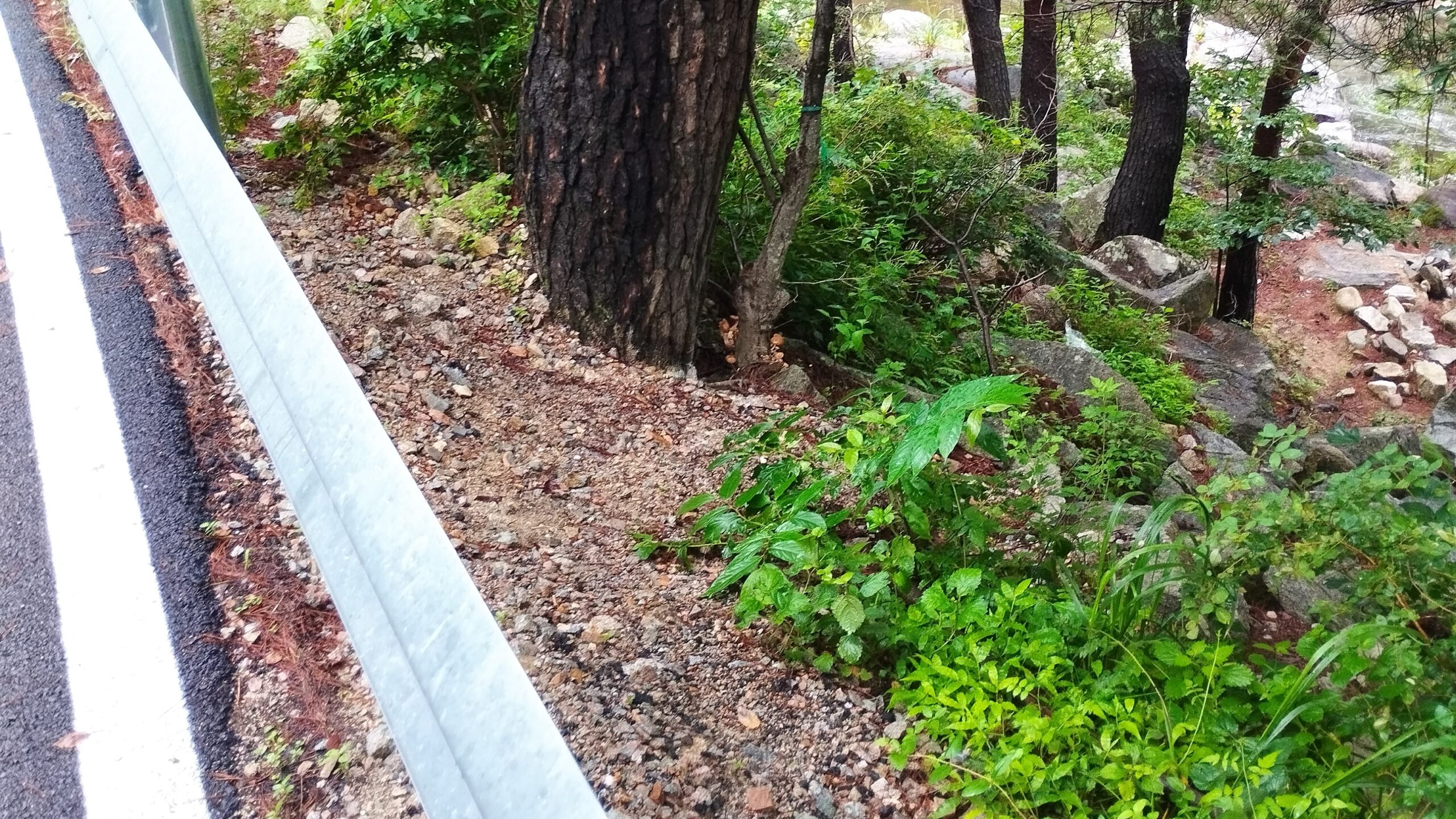
2) There are nearly always an access route near bridges
If there is a bridge, there is very often a way down to the river. Some see frequent use and are easy to find, others are rarely used and might be quite overgrown.
Such overgrown tracks can be easier to find early in the spring before plant growth smothers everything.
3) Tracks often follow ridgelines
When accessing fishing spots on lakes or coastlines
Many popular shore based fishing spots on lakes or rocky coastlines are at the end of points. The access spots to such areas nearly always follow the ridge line.
Identifying the ridgeline often reveals the presence of the track
4) Tracks are much easier to find from the water edge
Some lake access tracks I have never been able to find from the road itself, but I know they must exist because I have seen other fishermen fishing there.
Such tracks are often simple to find when accessed from the water.
If I know a track must exist in an area, I will try to access it from the water. In my case, I will kayak over to the location and then follow the track back to the road. I have found some excellent tracks that way.
5) Check old topographical maps
Some hiking or gold prospecting trails have fallen out of use and are no longer maintained, but such trails often provide access to little used areas of the backcountry.
Studying older maps often reveals the historical location of such tracks or routes.
A great place to view old topographical maps online is topoView by USGS.